File:Tolulu states.png
Size of this preview: 742 × 600 pixels. Other resolution: 1,501 × 1,213 pixels.
Original file (1,501 × 1,213 pixels, file size: 227 KB, MIME type: image/png)
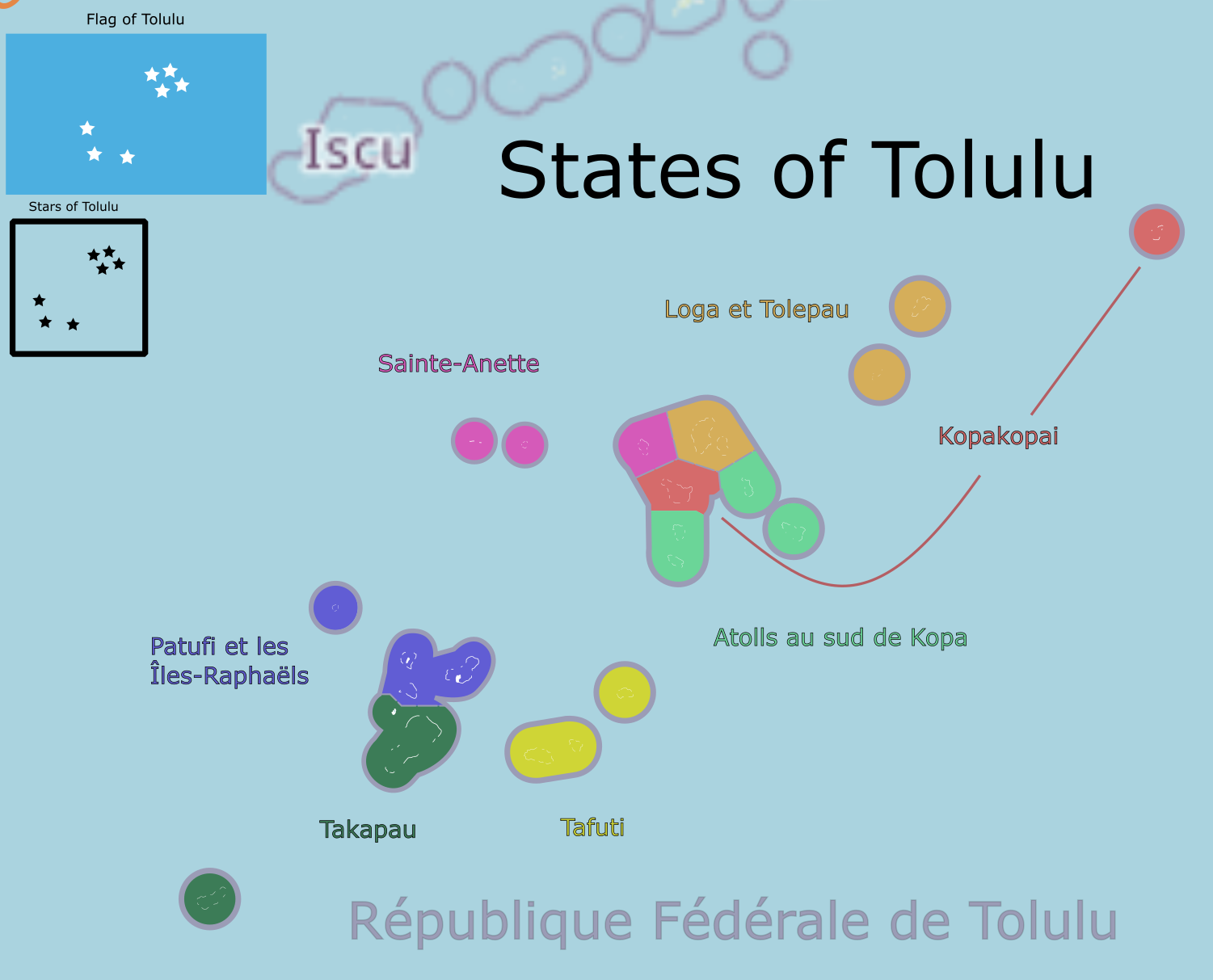
map of Tolulu, showing the states and island groups. Also shows the flag and national symbol.
License
| This map is a derivative of the OpenGeofiction base map, which is licensed under the Creative Commons Attribution-NonCommercial-ShareAlike License and is released under the same license. |
File history
Click on a date/time to view the file as it appeared at that time.
| Date/Time | Thumbnail | Dimensions | User | Comment | |
|---|---|---|---|---|---|
| current | 20:54, 5 February 2023 | | 1,501 × 1,213 (227 KB) | Liadrien (talk | contribs) |
You cannot overwrite this file.
File usage
The following page uses this file: