File:19c-City 2.png: Difference between revisions
Done with JOSM Category:Franqueterre Category:Franqueterre collaborative documentation == Licensing == {{Cc-ogf-map}} |
mNo edit summary |
||
| (One intermediate revision by one other user not shown) | |||
| Line 1: | Line 1: | ||
== Summary == | == Summary == | ||
Done with JOSM | Done with JOSM | ||
[[Category: | [[Category:Valonne collaborative documentation]] | ||
== Licensing == | == Licensing == | ||
{{Cc-ogf-map}} | {{Cc-ogf-map}} | ||
Latest revision as of 00:03, 30 September 2024
Summary
Done with JOSM
Licensing
| This map is a derivative of the OpenGeofiction base map, which is licensed under the Creative Commons Attribution-NonCommercial-ShareAlike License and is released under the same license. |
File history
Click on a date/time to view the file as it appeared at that time.
| Date/Time | Thumbnail | Dimensions | User | Comment | |
|---|---|---|---|---|---|
| current | 14:59, 24 August 2024 | 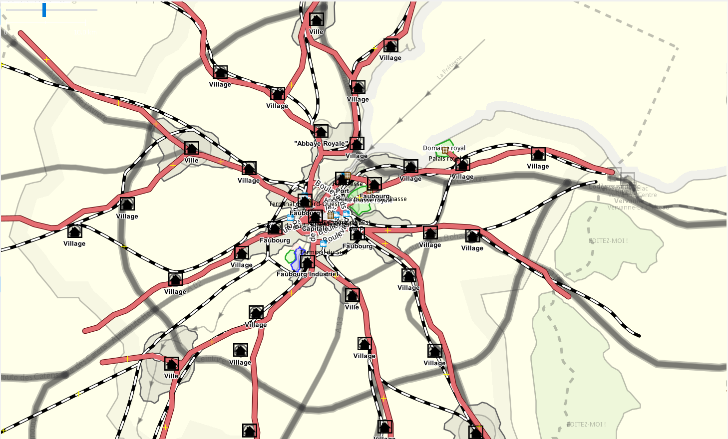 | 1,458 × 880 (536 KB) | Aiki (talk | contribs) | Done with JOSM Category:Franqueterre Category:Franqueterre collaborative documentation == Licensing == {{Cc-ogf-map}} |
You cannot overwrite this file.
File usage
The following page uses this file: