File:Stanton downtown plan.png: Difference between revisions
Fluffr Nuttr (talk | contribs) Plan for changes to Downtown Stanton geography, grid and passenger rail |
Rustem Pasha (talk | contribs) No edit summary |
||
| (One intermediate revision by one other user not shown) | |||
| Line 3: | Line 3: | ||
== Licensing == | == Licensing == | ||
{{Cc-ogf-map}} | {{Cc-ogf-map}} | ||
[[Category:Federal States collaborative documentation]] | |||
Latest revision as of 13:33, 5 April 2025
Summary
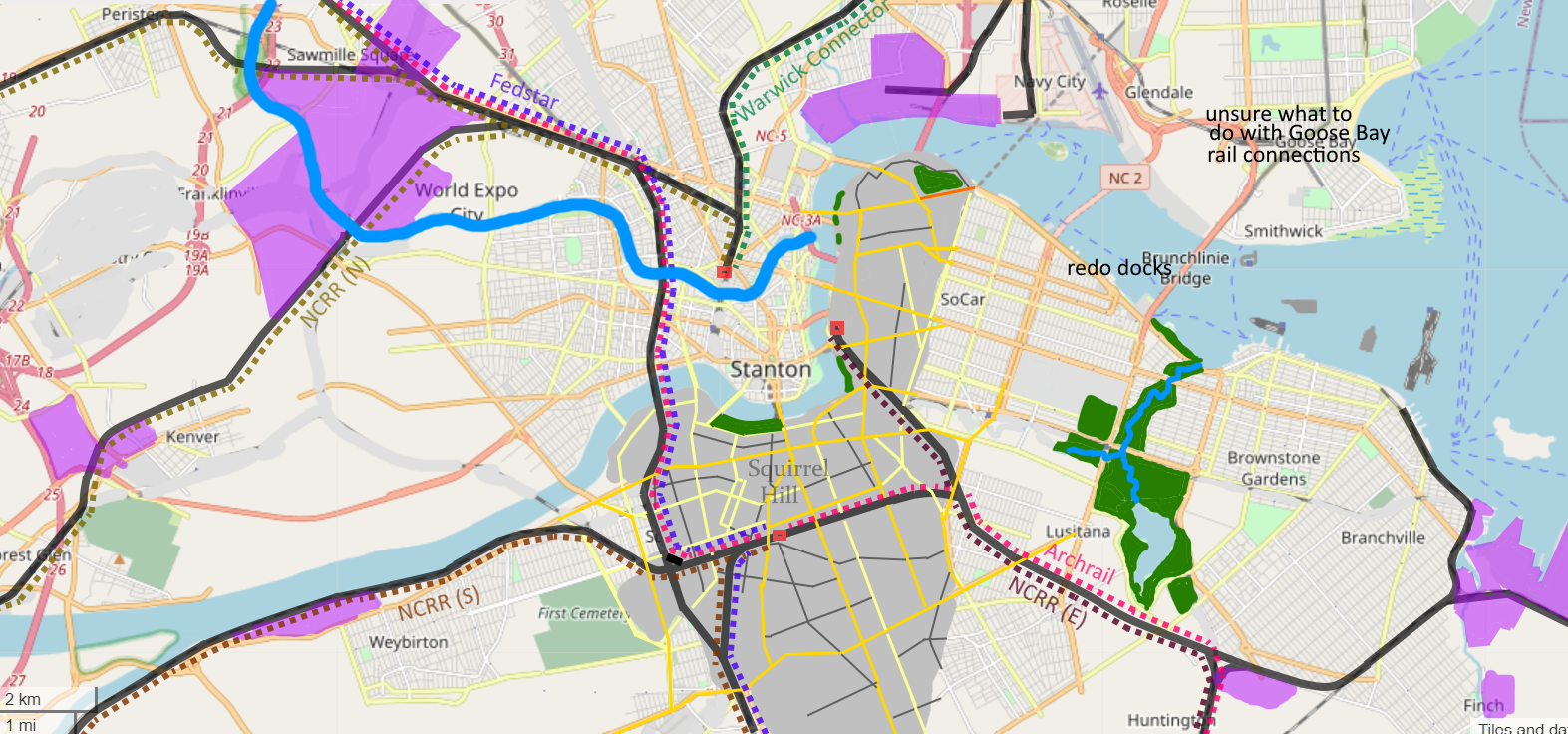
Plan for changes to Downtown Stanton geography, grid and passenger rail
Licensing
| Creative Commons License AttributionNonCommercialShareAlike | This map is a derivative of the OpenGeofiction base map, which is licensed under the Creative Commons Attribution-NonCommercial-ShareAlike License and is released under the same license. |
File history
Click on a date/time to view the file as it appeared at that time.
| Date/Time | Thumbnail | Dimensions | User | Comment | |
|---|---|---|---|---|---|
| current | 00:11, 13 March 2025 | 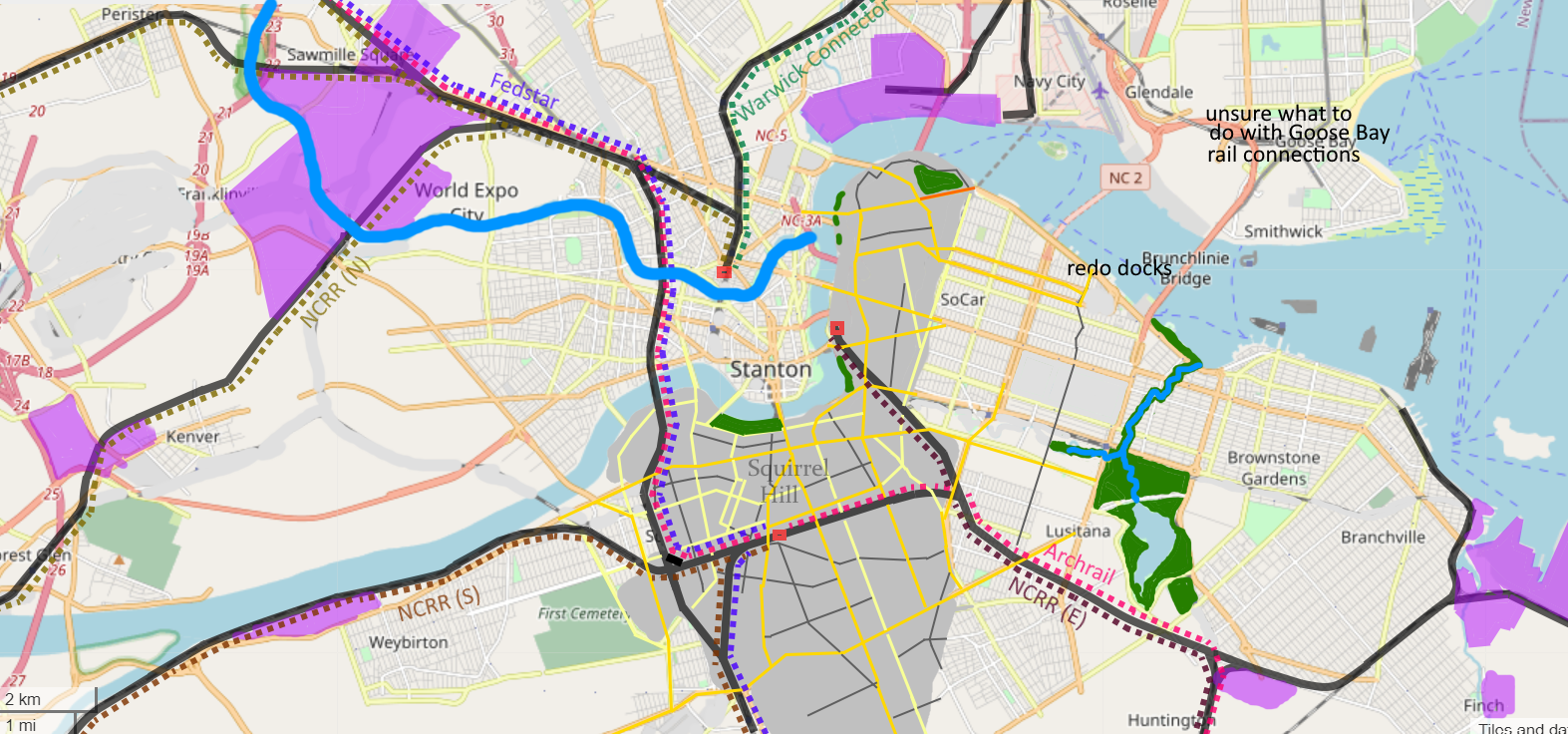 | 1,573 × 736 (1.25 MB) | Fluffr Nuttr (talk | contribs) | adjusted main park |
| 23:06, 12 March 2025 | Error creating thumbnail: File missing | 1,573 × 736 (1.24 MB) | Fluffr Nuttr (talk | contribs) | Plan for changes to Downtown Stanton geography, grid and passenger rail |
You cannot overwrite this file.
File usage
The following page uses this file: