File:Nemans RER proposal Ante44.png: Difference between revisions
No edit summary |
Rustem Pasha (talk | contribs) mNo edit summary |
||
| Line 1: | Line 1: | ||
Nemans RER proposal, own work | Nemans RER proposal, own work | ||
== License == | |||
{{cc-ogf-map}} | |||
[[Category:Suggestion drafts]] | |||
[[Category:Valonne collaborative documentation]] | |||
Latest revision as of 08:50, 19 July 2025
Nemans RER proposal, own work
License
| This map is a derivative of the OpenGeofiction base map, which is licensed under the Creative Commons Attribution-NonCommercial-ShareAlike License and is released under the same license. |
File history
Click on a date/time to view the file as it appeared at that time.
| Date/Time | Thumbnail | Dimensions | User | Comment | |
|---|---|---|---|---|---|
| current | 15:21, 13 April 2025 | 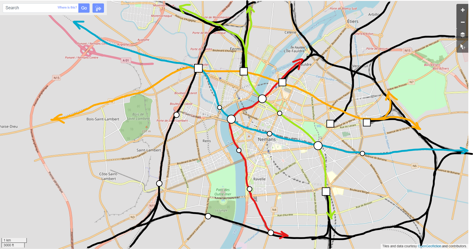 | 1,938 × 1,021 (1.44 MB) | Ante44 (talk | contribs) |
You cannot overwrite this file.
File usage
The following page uses this file: