File:Ambroisie regions.jpg: Difference between revisions
Rustem Pasha (talk | contribs) mNo edit summary |
mNo edit summary |
||
| Line 3: | Line 3: | ||
== License == | == License == | ||
{{cc- | {{cc-ogf-map}} | ||
[[Category:Ambrosia]] | [[Category:Ambrosia]] | ||
[[Category:Political maps]] | [[Category:Political maps]] | ||
Latest revision as of 20:04, 7 January 2022
Summary
Map originally uploaded by newflanders from own design based on OGF map.
License
| This map is a derivative of the OpenGeofiction base map, which is licensed under the Creative Commons Attribution-NonCommercial-ShareAlike License and is released under the same license. |
File history
Click on a date/time to view the file as it appeared at that time.
| Date/Time | Thumbnail | Dimensions | User | Comment | |
|---|---|---|---|---|---|
| current | 17:32, 4 January 2022 | 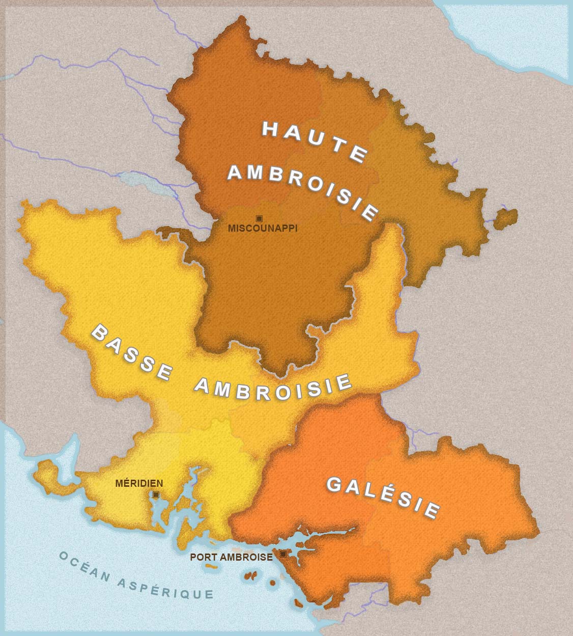 | 1,126 × 1,249 (238 KB) | Newflanders (talk | contribs) |
You cannot overwrite this file.
File usage
The following page uses this file: