File:Stanton Airports plan 1.png: Difference between revisions
Fluffr Nuttr (talk | contribs) Airport summary map for vote |
Rustem Pasha (talk | contribs) m cat, lic |
||
| Line 1: | Line 1: | ||
== Summary == | == Summary == | ||
Airport summary map for vote | Airport summary map for vote | ||
== License == | |||
{{cc-ogf-map}} | |||
[[Category:Suggestion drafts]] | |||
Latest revision as of 11:01, 30 August 2022
Summary
Airport summary map for vote
License
| Creative Commons License AttributionNonCommercialShareAlike | This map is a derivative of the OpenGeofiction base map, which is licensed under the Creative Commons Attribution-NonCommercial-ShareAlike License and is released under the same license. |
File history
Click on a date/time to view the file as it appeared at that time.
| Date/Time | Thumbnail | Dimensions | User | Comment | |
|---|---|---|---|---|---|
| current | 00:31, 28 August 2022 | 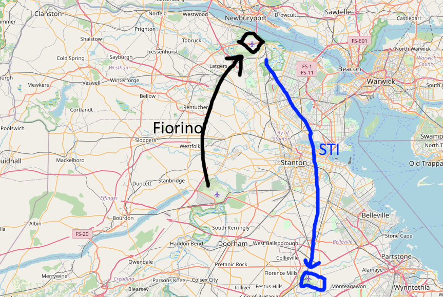 | 863 × 579 (644 KB) | Fluffr Nuttr (talk | contribs) | Airport summary map for vote |
You cannot overwrite this file.
File usage
The following page uses this file: