File:Les Grandes Régions de Franqueterre du Sud.png: Difference between revisions
No edit summary |
Rustem Pasha (talk | contribs) m cat, lic |
||
| Line 1: | Line 1: | ||
Schematic map of the Small Regions of Franqueterre du Sud | Schematic map of the Small Regions of Franqueterre du Sud | ||
== License == | |||
{{cc-ogf-map}} | |||
[[Category:Gueyrande]] | |||
[[Category:Political maps]] | |||
Revision as of 10:30, 25 August 2023
Schematic map of the Small Regions of Franqueterre du Sud
License
Error creating thumbnail: NonCommercialShareAlike | This map is a derivative of the OpenGeofiction base map, which is licensed under the Creative Commons Attribution-NonCommercial-ShareAlike License and is released under the same license. |
File history
Click on a date/time to view the file as it appeared at that time.
| Date/Time | Thumbnail | Dimensions | User | Comment | |
|---|---|---|---|---|---|
| current | 10:13, 26 October 2024 | 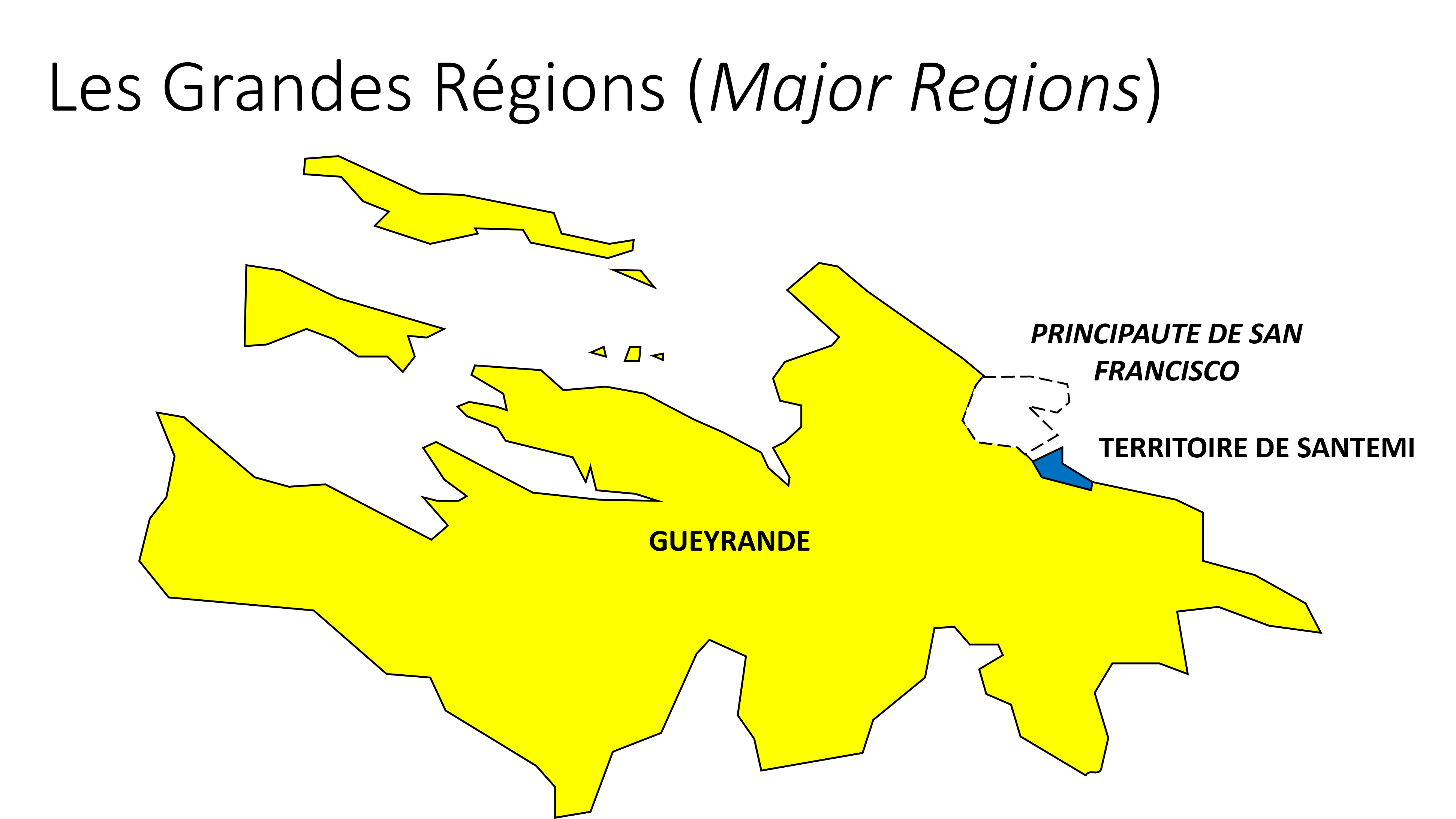 | 4,445 × 2,483 (595 KB) | Paul Pfh (talk | contribs) | |
| 20:05, 12 September 2024 | Error creating thumbnail: File missing | 4,445 × 2,483 (560 KB) | Paul Pfh (talk | contribs) | ||
| 10:27, 20 August 2023 | Error creating thumbnail: File missing | 3,884 × 2,185 (236 KB) | Paul Pfh (talk | contribs) |
You cannot overwrite this file.
File usage
The following page uses this file: