File:Aden Elevation Map.png: Difference between revisions
Made by Aad. can be used if cited |
Rustem Pasha (talk | contribs) mNo edit summary |
||
| Line 1: | Line 1: | ||
== Summary == | == Summary == | ||
Made by Aad. can be used if cited | Made by Aad. can be used if cited | ||
== License == | |||
{{cc-ogf-map}} | |||
[[Category:Topographic maps]] | |||
[[Category:Aden]] | |||
Latest revision as of 11:30, 2 November 2021
Summary
Made by Aad. can be used if cited
License
| Creative Commons License AttributionNonCommercialShareAlike | This map is a derivative of the OpenGeofiction base map, which is licensed under the Creative Commons Attribution-NonCommercial-ShareAlike License and is released under the same license. |
File history
Click on a date/time to view the file as it appeared at that time.
| Date/Time | Thumbnail | Dimensions | User | Comment | |
|---|---|---|---|---|---|
| current | 08:06, 2 November 2021 | 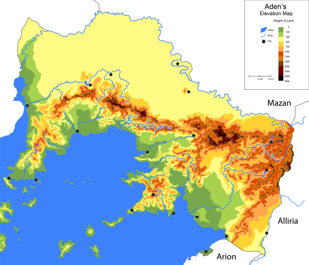 | 1,050 × 900 (518 KB) | Aad (talk | contribs) | Made by Aad. can be used if cited |
You cannot overwrite this file.
File usage
The following page uses this file: