File:LR Route Marker.png
Size of this preview: 600 × 600 pixels. Other resolution: 828 × 828 pixels.
Original file (828 × 828 pixels, file size: 60 KB, MIME type: image/png)
Summary
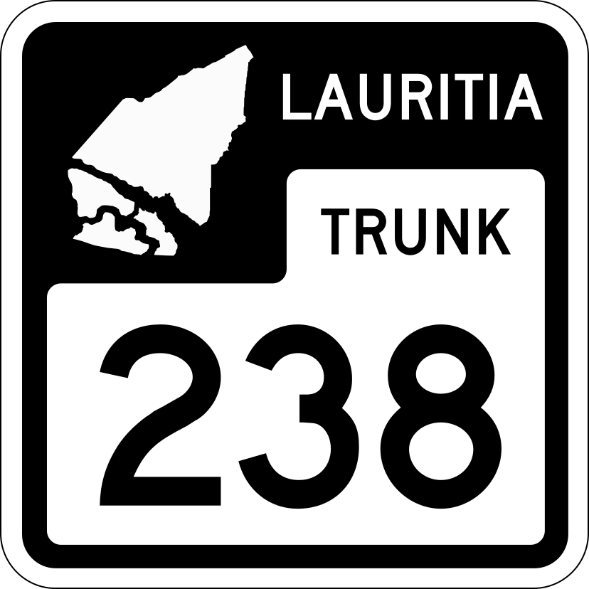
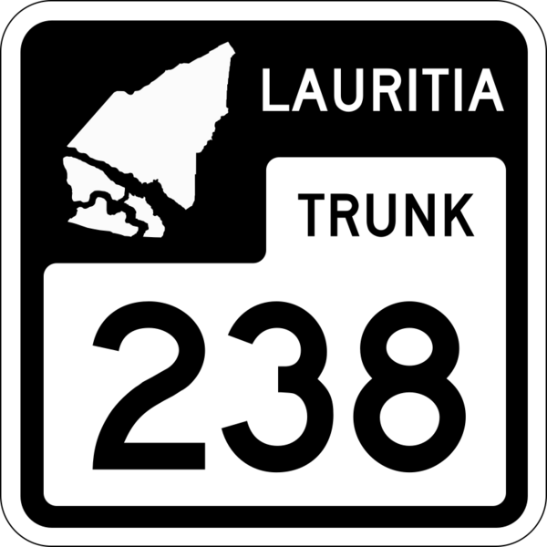
Lauritia Trunk Highway Route Marker Example (L-238) with the State outline in the upper left corner of the shield.
Attribution
Original work designed by indyroads in Inkscape.
Licensing
| Error creating thumbnail: AttributionNonCommercial |
This image is licensed under the Creative Commons Attribution-NonCommercial License |
File history
Click on a date/time to view the file as it appeared at that time.
| Date/Time | Thumbnail | Dimensions | User | Comment | |
|---|---|---|---|---|---|
| current | 21:29, 29 August 2023 | | 828 × 828 (60 KB) | Indyroads (talk | contribs) | Lauritia Trunk Highway Route Marker Example (L-238) with the State outline in the upper left corner of the shield. == Attribution == Original work designed by {{OGF user|indyroads}} in Inkscape. == Licensing == {{Cc-by-nc}} Category:Alora Category:Highway shields |
You cannot overwrite this file.
File usage
The following page uses this file: