File:10 citiesQN.png: Difference between revisions
Bixelkoven (talk | contribs) (Base map created thanks to User:Timboh.) |
Bixelkoven (talk | contribs) (Adding categories) |
||
| Line 3: | Line 3: | ||
== Licensing == | == Licensing == | ||
{{Cc-ogf-map}} | {{Cc-ogf-map}} | ||
[[Category:Qennes]] | |||
[[Category:Political maps]] | |||
Revision as of 08:48, 3 August 2022
Summary
Base map created thanks to User:Timboh.
Licensing
| This map is a derivative of the OpenGeofiction base map, which is licensed under the Creative Commons Attribution-NonCommercial-ShareAlike License and is released under the same license. |
File history
Click on a date/time to view the file as it appeared at that time.
| Date/Time | Thumbnail | Dimensions | User | Comment | |
|---|---|---|---|---|---|
| current | 12:04, 3 August 2022 | 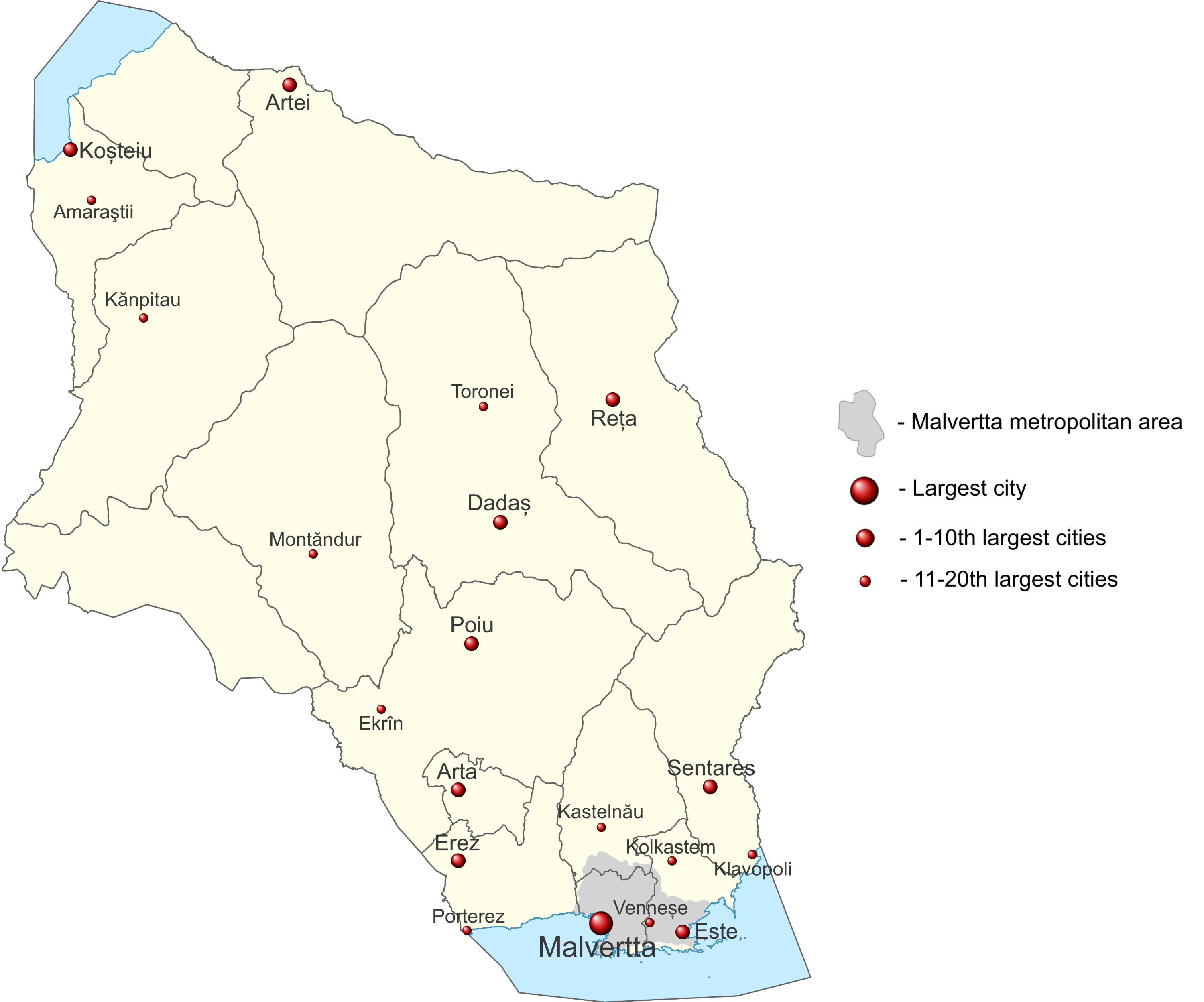 | 3,000 × 2,497 (706 KB) | Bixelkoven (talk | contribs) | Previous one was too large apparently? |
| 12:02, 3 August 2022 | Error creating thumbnail: File with dimensions greater than 12.5 MP | 4,000 × 3,329 (781 KB) | Bixelkoven (talk | contribs) | Expanded to 20 cities and some additional info. | |
| 08:43, 3 August 2022 | Error creating thumbnail: File missing | 2,687 × 3,329 (554 KB) | Bixelkoven (talk | contribs) | Base map created thanks to User:Timboh. |
You cannot overwrite this file.
File usage
The following page uses this file: