File:ASUN map.svg

Size of this PNG preview of this SVG file: 512 × 503 pixels. Other resolution: 2,085 × 2,048 pixels.
Original file (SVG file, nominally 512 × 503 pixels, file size: 113 KB)
Summary
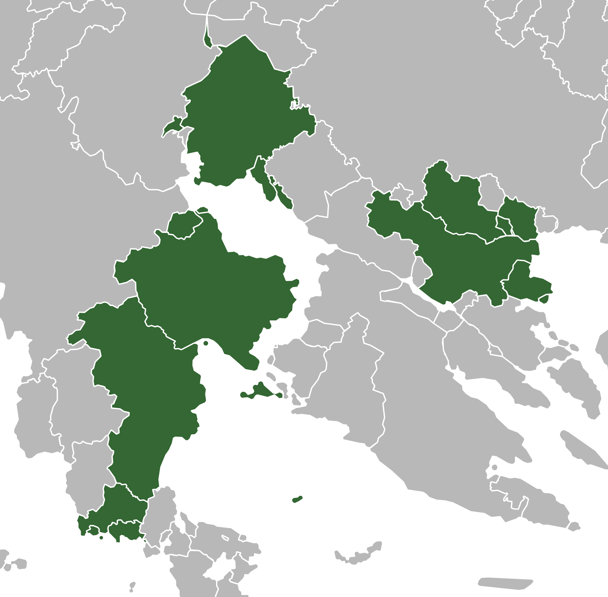
Map of ASUN member states in the style of Wikipedia's green maps. Country shapes derived from imported data from OpenGeofiction.
File history
Click on a date/time to view the file as it appeared at that time.
| Date/Time | Thumbnail | Dimensions | User | Comment | |
|---|---|---|---|---|---|
| current | 17:23, 12 January 2023 | | 512 × 503 (113 KB) | Timboh (talk | contribs) | Removing references to lost countries |
| 17:48, 29 May 2022 | Error creating thumbnail: File missing | 512 × 503 (113 KB) | Timboh (talk | contribs) | Map of ASUN member states in the style of Wikipedia's green maps. Country shapes derived from imported data from OpenGeofiction. Category:Political maps |
You cannot overwrite this file.
File usage
The following page uses this file: