File:Hydrocarbons in Alormen.png: Difference between revisions
m (adding category: regional maps) |
Rustem Pasha (talk | contribs) m (category fix) |
||
| Line 4: | Line 4: | ||
{{Cc-ogf-map}} | {{Cc-ogf-map}} | ||
[[Category:Regional maps]] | [[Category:Regional maps]] | ||
[[Category:Federal States collaborative documentation]] | |||
Revision as of 12:25, 3 November 2021
Summary
A map indicating the approximate limits of the two main hydrocarbon provinces in Alormen.
Licensing
| This map is a derivative of the OpenGeofiction base map, which is licensed under the Creative Commons Attribution-NonCommercial-ShareAlike License and is released under the same license. |
File history
Click on a date/time to view the file as it appeared at that time.
| Date/Time | Thumbnail | Dimensions | User | Comment | |
|---|---|---|---|---|---|
| current | 12:15, 3 November 2021 | 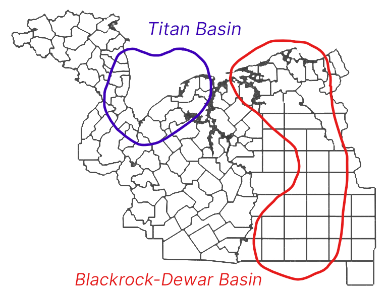 | 767 × 586 (137 KB) | Ruadh (talk | contribs) | A map indicating the approximate limits of the two main hydrocarbon provinces in Alormen. |
You cannot overwrite this file.
File usage
The following page uses this file: