File:Ingerish Asperia administrative districts.png: Difference between revisions
(You must include categories for your image and any sources that unoriginal content is from. Please include these in this box before uploading the image. You must also select an appropriate license below.) |
(Arlo uploaded a new version of File:Ingerish Asperia administrative districts.png) |
(No difference)
| |
Revision as of 15:47, 9 April 2022
Summary
You must include categories for your image and any sources that unoriginal content is from. Please include these in this box before uploading the image. You must also select an appropriate license below.
Licensing
| This map is a derivative of the OpenGeofiction base map, which is licensed under the Creative Commons Attribution-NonCommercial-ShareAlike License and is released under the same license. |
File history
Click on a date/time to view the file as it appeared at that time.
| Date/Time | Thumbnail | Dimensions | User | Comment | |
|---|---|---|---|---|---|
| current | 06:22, 11 April 2022 | 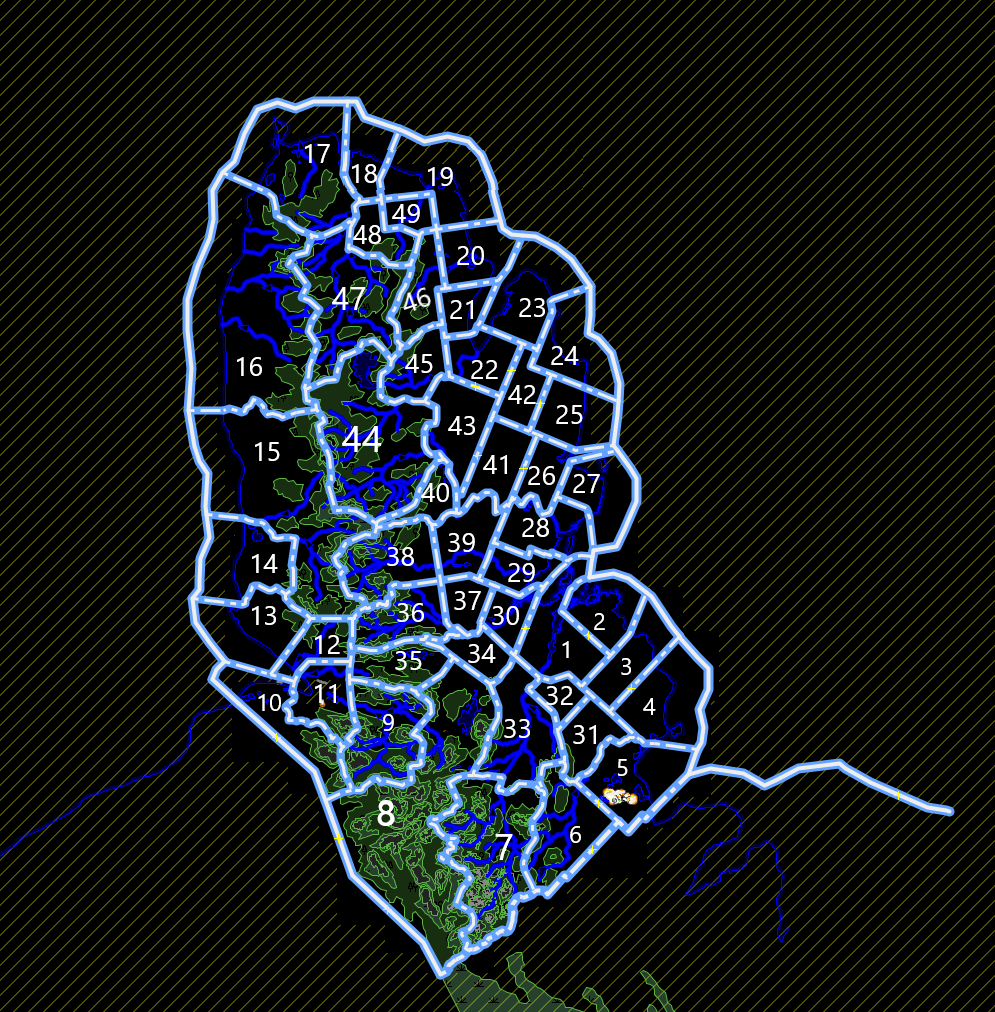 | 995 × 1,012 (408 KB) | Arlo (talk | contribs) | |
| 15:47, 9 April 2022 | Error creating thumbnail: File missing | 1,051 × 1,192 (341 KB) | Arlo (talk | contribs) | ||
| 09:44, 9 April 2022 | Error creating thumbnail: File missing | 1,051 × 1,192 (318 KB) | Arlo (talk | contribs) | You must include categories for your image and any sources that unoriginal content is from. Please include these in this box before uploading the image. You must also select an appropriate license below. |
You cannot overwrite this file.
File usage
The following page uses this file: