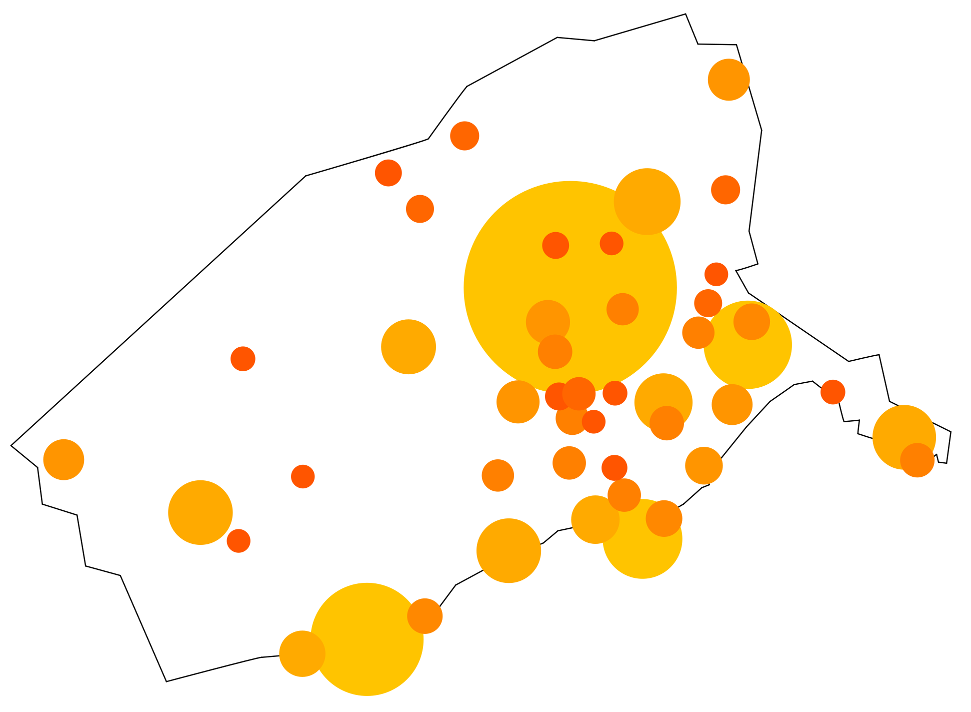
File:Kojo city population circles.PNG
Size of this preview: 800 × 586 pixels. Other resolution: 1,942 × 1,423 pixels.
Original file (1,942 × 1,423 pixels, file size: 146 KB, MIME type: image/png)
Summary
made by me using LibreOffice Draw.
Licensing
| This image is licensed under the Creative Commons Attribution-NonCommercial-ShareAlike License |
File history
Click on a date/time to view the file as it appeared at that time.
| Date/Time | Thumbnail | Dimensions | User | Comment | |
|---|---|---|---|---|---|
| current | 18:46, 22 April 2024 | | 1,942 × 1,423 (146 KB) | Leowezy (talk | contribs) | changed Kippa area into multiple cities |
| 09:58, 22 February 2022 | 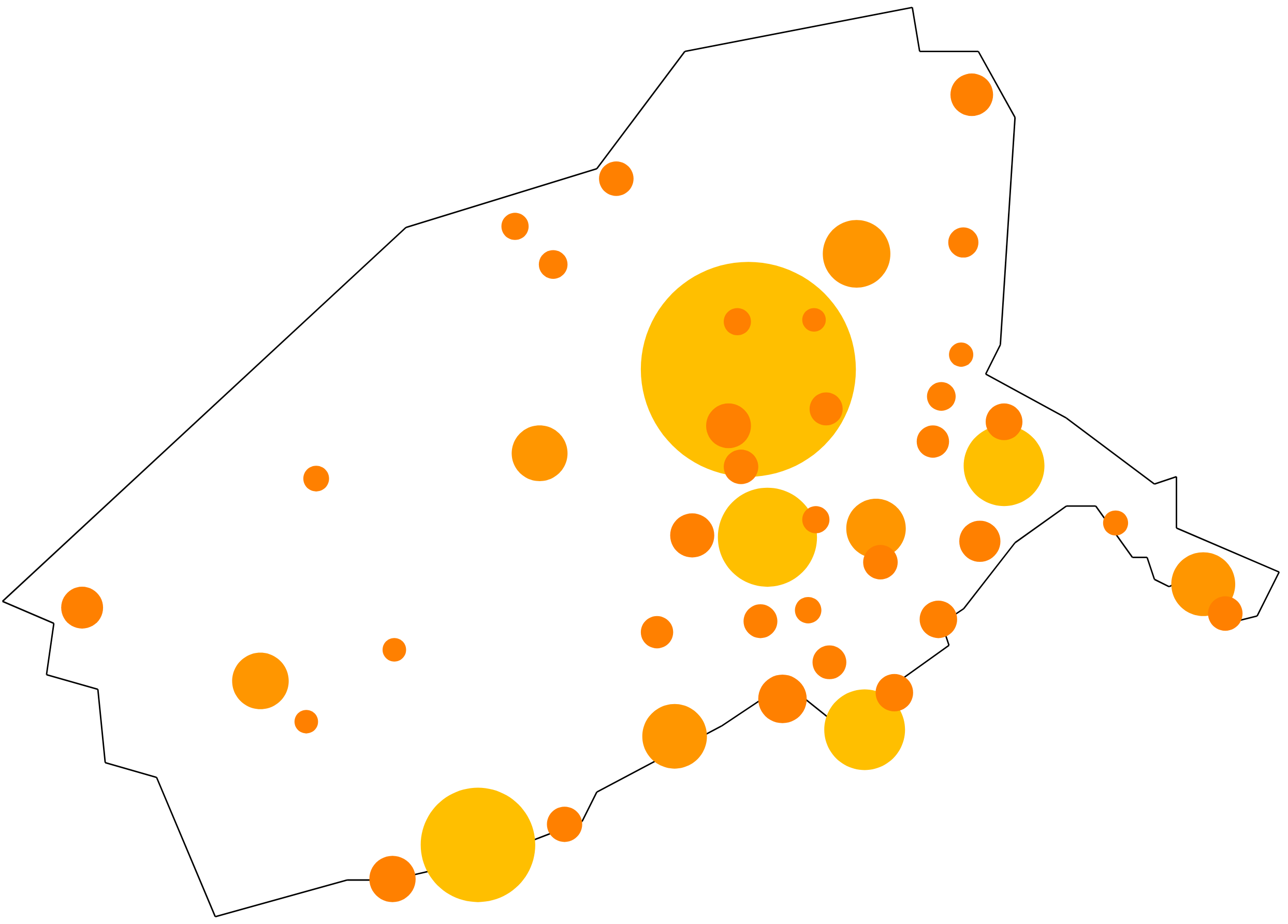 | 2,488 × 1,786 (149 KB) | Leowezy (talk | contribs) | made by me using LibreOffice Draw. Category:Kojo Category:Maps |
You cannot overwrite this file.
File usage
The following page uses this file: