File:Les Petites Régions de Franqueterre du Sud.png: Difference between revisions
No edit summary |
Rustem Pasha (talk | contribs) m (cat,lic) |
||
| Line 1: | Line 1: | ||
Carte des Petites Régions de Franqueterre du Sud | Carte des Petites Régions de Franqueterre du Sud | ||
== License == | |||
{{cc-ogf-map}} | |||
[[Category:Gueyrande]] | |||
[[Category:Political maps]] | |||
Revision as of 10:30, 25 August 2023
Carte des Petites Régions de Franqueterre du Sud
License
| This map is a derivative of the OpenGeofiction base map, which is licensed under the Creative Commons Attribution-NonCommercial-ShareAlike License and is released under the same license. |
File history
Click on a date/time to view the file as it appeared at that time.
| Date/Time | Thumbnail | Dimensions | User | Comment | |
|---|---|---|---|---|---|
| current | 17:17, 25 August 2023 | 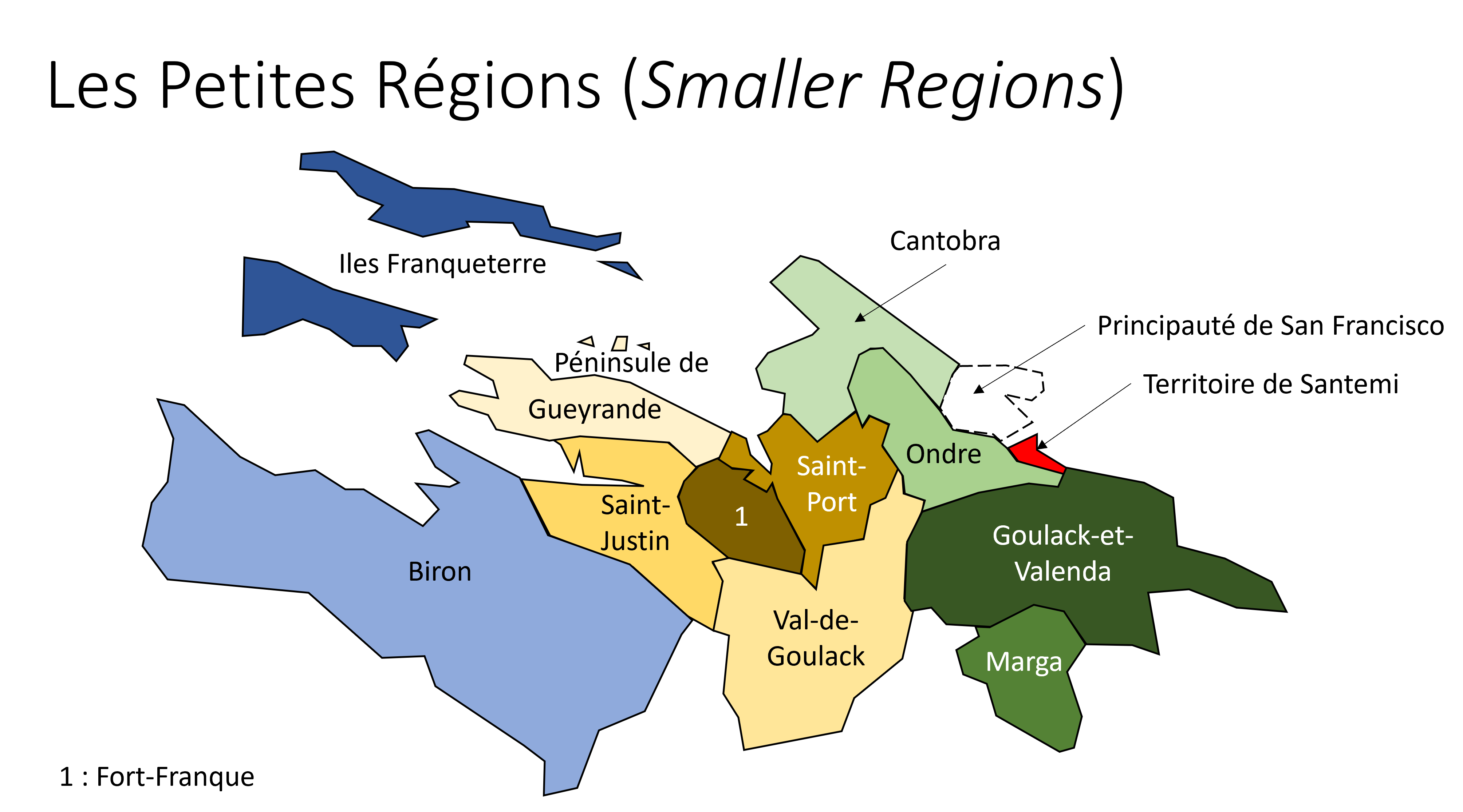 | 4,018 × 2,232 (349 KB) | Paul Pfh (talk | contribs) | Nouvelle-Courbevoie -> Fort-Franque |
| 10:24, 20 August 2023 | Error creating thumbnail: File missing | 4,018 × 2,232 (352 KB) | Paul Pfh (talk | contribs) |
You cannot overwrite this file.
File usage
The following file is a duplicate of this file (more details):
There are no pages that use this file.