File:Natural Planning with Major Rivers-02.jpg: Difference between revisions
Geoc3ladus (talk | contribs) No edit summary |
Rustem Pasha (talk | contribs) mNo edit summary |
||
| Line 1: | Line 1: | ||
A natural cover plan for AR060-02 | A natural cover plan for AR060-02 | ||
== License == | |||
{{cc-ogf-map}} | |||
[[Category:Territory request images]] | |||
Latest revision as of 13:56, 15 August 2022
A natural cover plan for AR060-02
License
| This map is a derivative of the OpenGeofiction base map, which is licensed under the Creative Commons Attribution-NonCommercial-ShareAlike License and is released under the same license. |
File history
Click on a date/time to view the file as it appeared at that time.
| Date/Time | Thumbnail | Dimensions | User | Comment | |
|---|---|---|---|---|---|
| current | 18:20, 9 August 2022 | 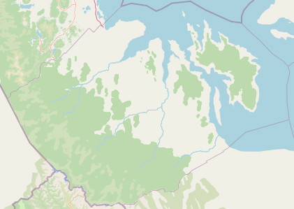 | 421 × 299 (32 KB) | Geoc3ladus (talk | contribs) |
You cannot overwrite this file.
File usage
The following 2 pages use this file: