File:Ogf base world map.svg

Size of this PNG preview of this SVG file: 800 × 431 pixels. Other resolution: 2,560 × 1,378 pixels.
Original file (SVG file, nominally 1,020 × 549 pixels, file size: 1.67 MB)
Summary
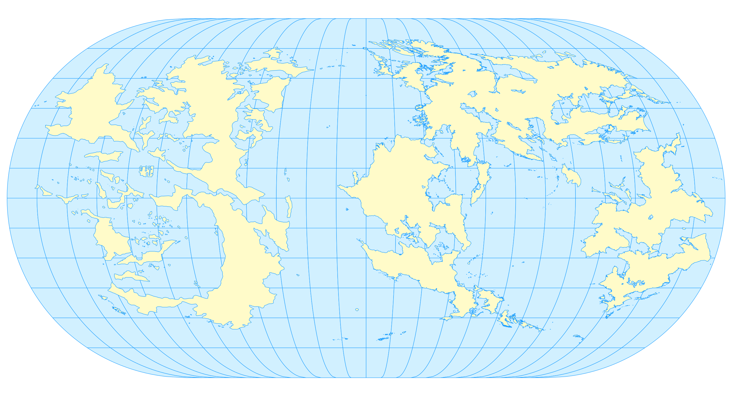
Blank map of the OGF world landmasses, with latitude and longitude lines every 15 degrees over the ocean. Projection used is Eckert III. Map composition by Martinawa
Licensing
| This map is a derivative of the OpenGeofiction base map, which is licensed under the Creative Commons Attribution-NonCommercial-ShareAlike License and is released under the same license. |
File history
Click on a date/time to view the file as it appeared at that time.
| Date/Time | Thumbnail | Dimensions | User | Comment | |
|---|---|---|---|---|---|
| current | 22:59, 24 April 2024 | | 1,020 × 549 (1.67 MB) | Martinawa (talk | contribs) | Blank map of the OGF world landmasses, with latitude and longitude lines every 15 degrees over the ocean. Projection used is Eckert III. Map composition by Martinawa Category:Maps Category:World maps |
You cannot overwrite this file.
File usage
There are no pages that use this file.