File:Psm metro lines.png: Difference between revisions
(Pyingshum Metro network map, made by me using LibreOffice Draw. Category:Kojo Category:Transport maps) |
Rustem Pasha (talk | contribs) m (ogf-map) |
||
| Line 1: | Line 1: | ||
== Summary == | == Summary == | ||
Pyingshum Metro network map, made by me using LibreOffice Draw. | Pyingshum Metro network map, made by me using LibreOffice Draw. | ||
== Licensing == | |||
{{cc-ogf-map}} | |||
[[Category:Kojo]] | [[Category:Kojo]] | ||
[[Category:Transport maps]] | [[Category:Transport maps]] | ||
Latest revision as of 11:05, 7 July 2022
Summary
Pyingshum Metro network map, made by me using LibreOffice Draw.
Licensing
| This map is a derivative of the OpenGeofiction base map, which is licensed under the Creative Commons Attribution-NonCommercial-ShareAlike License and is released under the same license. |
File history
Click on a date/time to view the file as it appeared at that time.
| Date/Time | Thumbnail | Dimensions | User | Comment | |
|---|---|---|---|---|---|
| current | 11:19, 15 February 2022 | 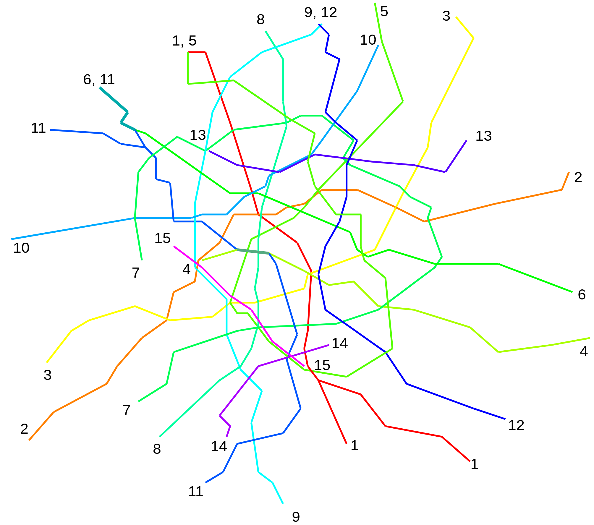 | 2,009 × 1,776 (233 KB) | Leowezy (talk | contribs) | Pyingshum Metro network map, made by me using LibreOffice Draw. Category:Kojo Category:Transport maps |
You cannot overwrite this file.
File usage
The following page uses this file: