File:QennesBaseMap.png: Difference between revisions
Bixelkoven (talk | contribs) mNo edit summary |
Bixelkoven (talk | contribs) (Bixelkoven uploaded a new version of File:QennesBaseMap.png) |
||
| (One intermediate revision by the same user not shown) | |||
| Line 5: | Line 5: | ||
[[Category:Qennes]] | [[Category:Qennes]] | ||
[[Category:Political maps]] | |||
Latest revision as of 15:11, 13 July 2022
Summary
Self-made.
Licensing
| This map is a derivative of the OpenGeofiction base map, which is licensed under the Creative Commons Attribution-NonCommercial-ShareAlike License and is released under the same license. |
File history
Click on a date/time to view the file as it appeared at that time.
| Date/Time | Thumbnail | Dimensions | User | Comment | |
|---|---|---|---|---|---|
| current | 15:11, 13 July 2022 | 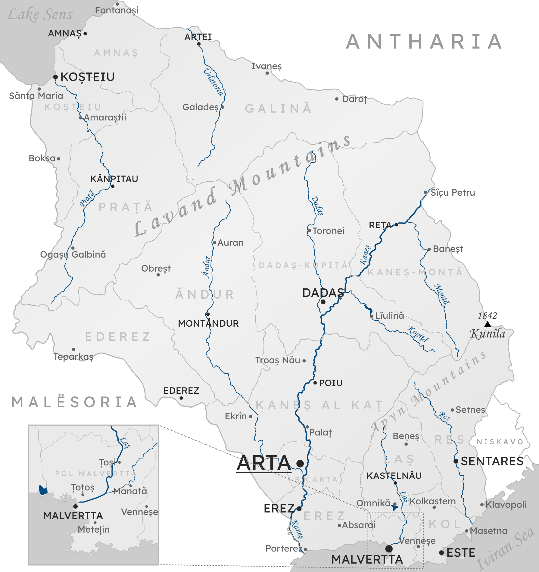 | 1,790 × 1,900 (1.93 MB) | Bixelkoven (talk | contribs) | New tallest peak location and height. |
| 21:39, 10 November 2021 | Error creating thumbnail: File missing | 1,790 × 1,900 (1.94 MB) | Bixelkoven (talk | contribs) | Self-made. |
You cannot overwrite this file.
File usage
The following page uses this file: