File:Tircambry-cantrefi-map.png: Difference between revisions
(Created by Pawl using data from OGF rendered with Maperitive. Category:Tircambry) |
(Pawl uploaded a new version of File:Tircambry-cantrefi-map.png) |
||
| (2 intermediate revisions by 2 users not shown) | |||
| Line 1: | Line 1: | ||
== Summary == | == Summary == | ||
Created by Pawl using data from OGF rendered with Maperitive. | Created by Pawl using data from OGF rendered with Maperitive. | ||
== Licensing == | == Licensing == | ||
{{Cc-by-nc-sa}} | {{Cc-by-nc-sa}} | ||
[[Category:Political maps]] | |||
[[Category:Tircambry]] | |||
Latest revision as of 08:17, 18 February 2024
Summary
Created by Pawl using data from OGF rendered with Maperitive.
Licensing
| This image is licensed under the Creative Commons Attribution-NonCommercial-ShareAlike License |
File history
Click on a date/time to view the file as it appeared at that time.
| Date/Time | Thumbnail | Dimensions | User | Comment | |
|---|---|---|---|---|---|
| current | 08:17, 18 February 2024 | 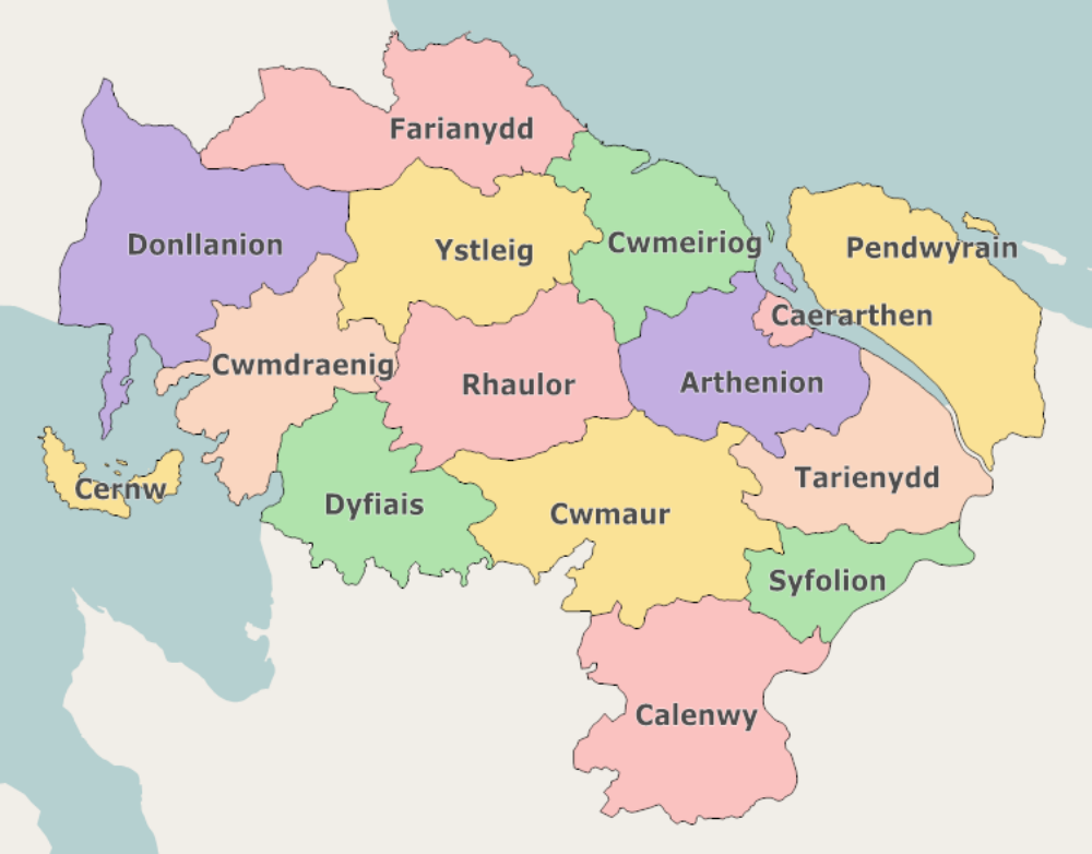 | 1,000 × 782 (219 KB) | Pawl (talk | contribs) | |
| 12:43, 9 July 2023 | Error creating thumbnail: File missing | 1,000 × 772 (197 KB) | Pawl (talk | contribs) | Created by Pawl using OGF data rendered in Maperitive. Update to reflect border changes with Lentia. | |
| 13:06, 8 July 2023 | Error creating thumbnail: File missing | 1,000 × 754 (187 KB) | Pawl (talk | contribs) | Created by Pawl using data from OGF rendered with Maperitive. Category:Tircambry |
You cannot overwrite this file.
File usage
The following page uses this file: