File:PA state house map.png: Difference between revisions
No edit summary |
licensing and cats... |
||
| (One intermediate revision by one other user not shown) | |||
| Line 1: | Line 1: | ||
Passamaqueets state house map, made with paint.net | Passamaqueets state house map, made with paint.net | ||
{{cc-ogf-map}} | |||
[[Category:Passamaqueets]] | |||
Latest revision as of 20:13, 22 October 2025
Passamaqueets state house map, made with paint.net
| This map is a derivative of the OpenGeofiction base map, which is licensed under the Creative Commons Attribution-NonCommercial-ShareAlike License and is released under the same license. |
File history
Click on a date/time to view the file as it appeared at that time.
| Date/Time | Thumbnail | Dimensions | User | Comment | |
|---|---|---|---|---|---|
| current | 15:58, 17 October 2025 | 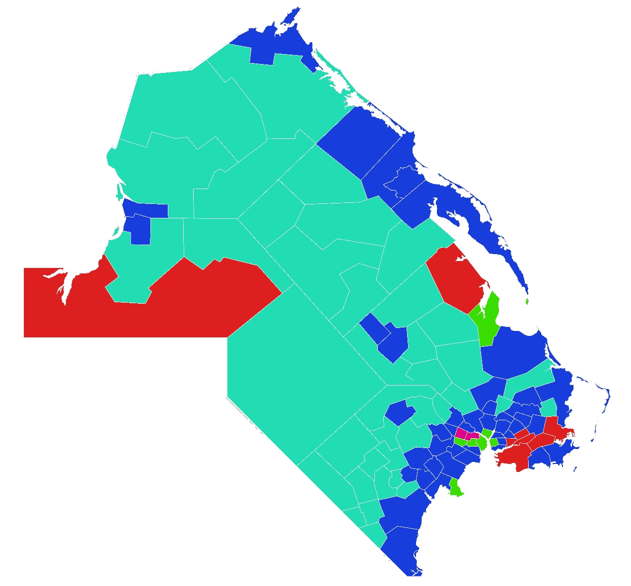 | 1,271 × 1,181 (644 KB) | Jr000 (talk | contribs) |
You cannot overwrite this file.
File usage
The following page uses this file: