File:Ellarca admin blank.png: Difference between revisions
Blank map of the administrative divisions of {{Larcetany}}, using the [https://en.wikipedia.org/wiki/Wikipedia:WikiProject_Maps/Conventions/Location_maps|location maps conventions] from Wikipedia. Category:Larcetany Category:Political maps |
|||
| Line 1: | Line 1: | ||
== Summary == | == Summary == | ||
Blank map of the administrative divisions of {{Larcetany}}, using the [https://en.wikipedia.org/wiki/Wikipedia:WikiProject_Maps/Conventions/Location_maps|location | Blank map of the administrative divisions of {{Larcetany}}, using the [https://en.wikipedia.org/wiki/Wikipedia:WikiProject_Maps/Conventions/Location_maps|location location map conventions] from Wikipedia. | ||
[[Category:Larcetany]] [[Category:Political maps]] | [[Category:Larcetany]] [[Category:Political maps]] | ||
== Licensing == | == Licensing == | ||
{{Cc-ogf-map}} | {{Cc-ogf-map}} | ||
Latest revision as of 16:25, 25 May 2024
Summary
Blank map of the administrative divisions of ![]() Larcetany, using the location map conventions from Wikipedia.
Larcetany, using the location map conventions from Wikipedia.
Licensing
| Creative Commons License AttributionNonCommercialShareAlike | This map is a derivative of the OpenGeofiction base map, which is licensed under the Creative Commons Attribution-NonCommercial-ShareAlike License and is released under the same license. |
File history
Click on a date/time to view the file as it appeared at that time.
| Date/Time | Thumbnail | Dimensions | User | Comment | |
|---|---|---|---|---|---|
| current | 16:24, 25 May 2024 | 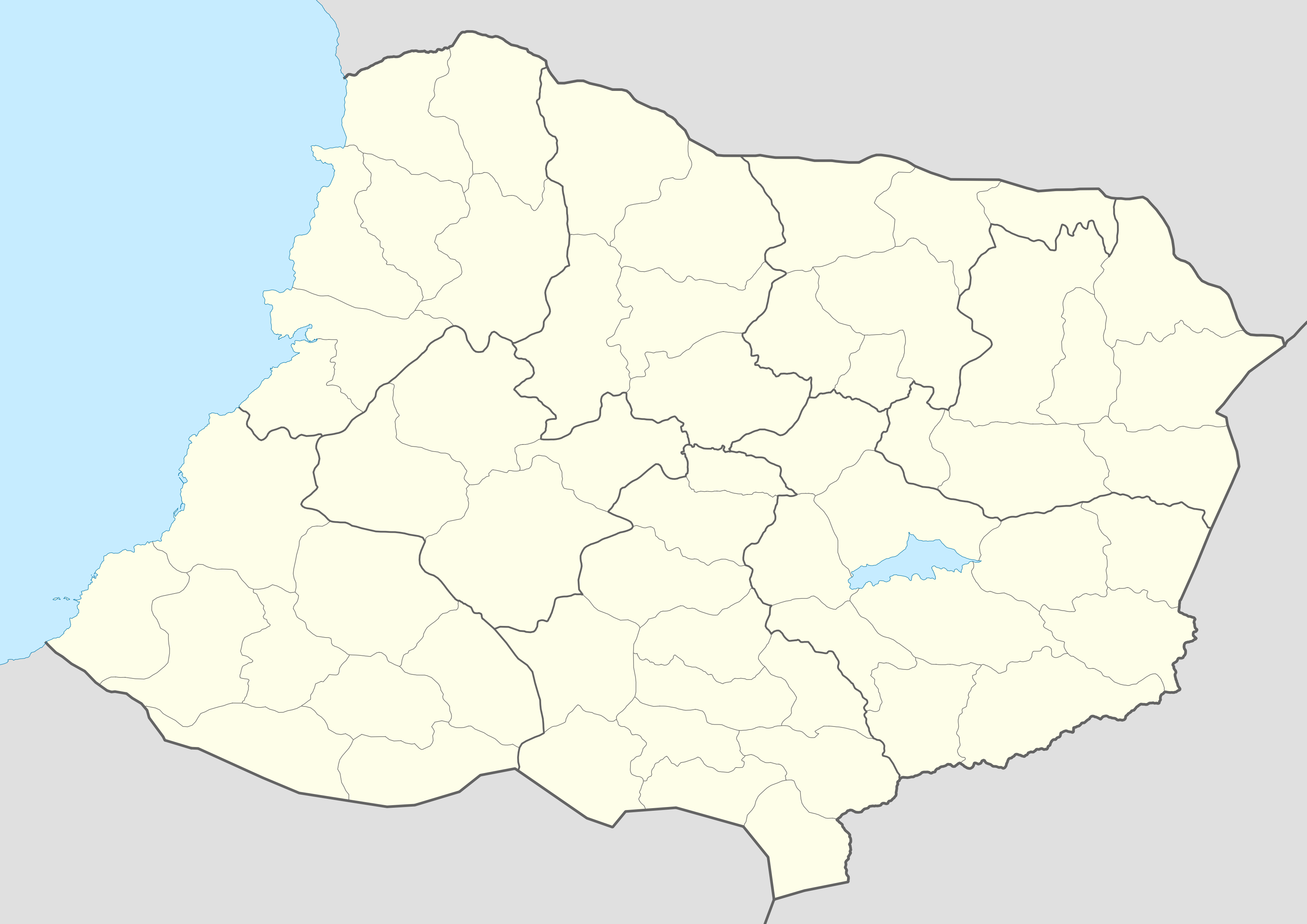 | 3,507 × 2,480 (667 KB) | Martinawa (talk | contribs) | Blank map of the administrative divisions of {{Larcetany}}, using the [https://en.wikipedia.org/wiki/Wikipedia:WikiProject_Maps/Conventions/Location_maps|location maps conventions] from Wikipedia. Category:Larcetany Category:Political maps |
You cannot overwrite this file.
File usage
The following page uses this file: