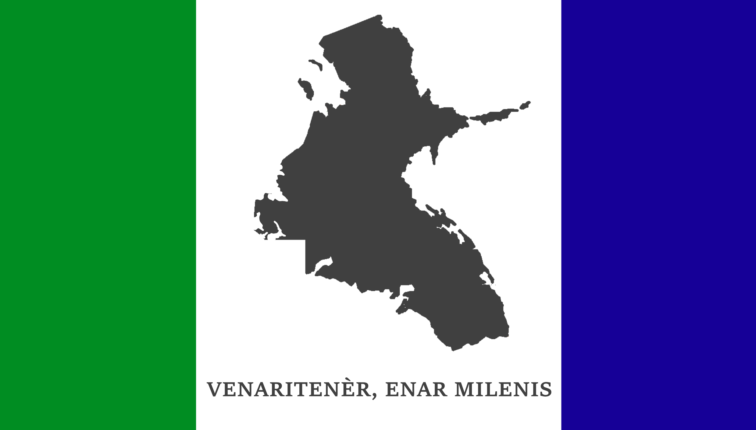
File:Flag of Venary.png
Size of this preview: 800 × 456 pixels. Other resolution: 2,480 × 1,413 pixels.
Original file (2,480 × 1,413 pixels, file size: 99 KB, MIME type: image/png)
The flag of the State of Venary.
| Creative Commons License AttributionError creating thumbnail: ShareAlike | This map is a derivative of the OpenGeofiction base map, which is licensed under the Creative Commons Attribution-NonCommercial-ShareAlike License and is released under the same license. |
| Creative Commons License AttributionError creating thumbnail: ShareAlike | This flag is a contribution of the OpenGeofiction community and is licensed under the Creative Commons Attribution-NonCommercial-ShareAlike License. Any non-original content is detailed in the image summary. |
File history
Click on a date/time to view the file as it appeared at that time.
| Date/Time | Thumbnail | Dimensions | User | Comment | |
|---|---|---|---|---|---|
| current | 19:04, 8 September 2025 | | 2,480 × 1,413 (99 KB) | Mantan (talk | contribs) |
You cannot overwrite this file.
File usage
The following 5 pages use this file: