File:Alormen in fsa.png: Difference between revisions
(A map of Alormen within the FSA. Made by Ruadh.) |
mNo edit summary |
||
| (One intermediate revision by one other user not shown) | |||
| Line 3: | Line 3: | ||
== Licensing == | == Licensing == | ||
{{Cc-ogf-map}} | {{Cc-ogf-map}} | ||
[[Category:Alormen]] | |||
[[Category:Political maps]] | |||
Latest revision as of 22:09, 22 November 2021
Summary
A map of Alormen within the FSA. Made by Ruadh.
Licensing
| This map is a derivative of the OpenGeofiction base map, which is licensed under the Creative Commons Attribution-NonCommercial-ShareAlike License and is released under the same license. |
File history
Click on a date/time to view the file as it appeared at that time.
| Date/Time | Thumbnail | Dimensions | User | Comment | |
|---|---|---|---|---|---|
| current | 12:54, 3 November 2021 | 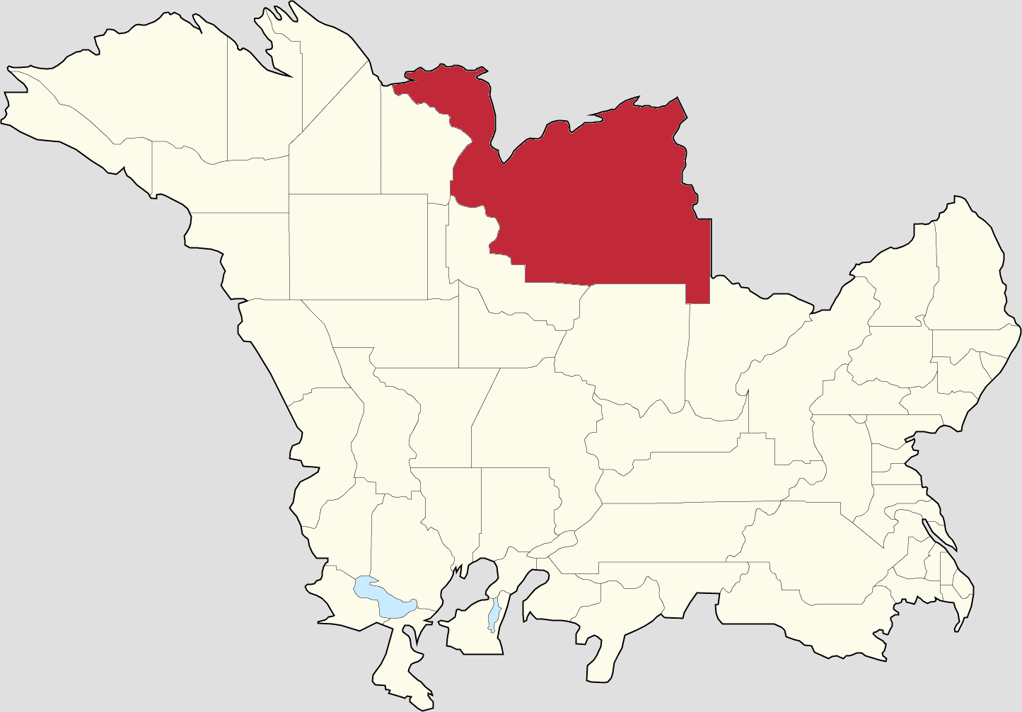 | 1,445 × 1,007 (98 KB) | Ruadh (talk | contribs) | A map of Alormen within the FSA. Made by Ruadh. |
You cannot overwrite this file.
File usage
The following page uses this file: