File:Eelvation - Hamidiyye-01.jpg: Difference between revisions
No edit summary |
m +cats +lic |
||
| Line 1: | Line 1: | ||
Elevation of Hamidiye - 4 August 2025 | Elevation of Hamidiye - 4 August 2025 | ||
{{cc-ogf-map}} | |||
[[Category:Hamidiye]] | |||
[[Category:Topographic maps]] | |||
Revision as of 02:34, 6 August 2025
Elevation of Hamidiye - 4 August 2025
| Creative Commons License AttributionNonCommercialShareAlike | This map is a derivative of the OpenGeofiction base map, which is licensed under the Creative Commons Attribution-NonCommercial-ShareAlike License and is released under the same license. |
File history
Click on a date/time to view the file as it appeared at that time.
| Date/Time | Thumbnail | Dimensions | User | Comment | |
|---|---|---|---|---|---|
| current | 18:53, 8 August 2025 | 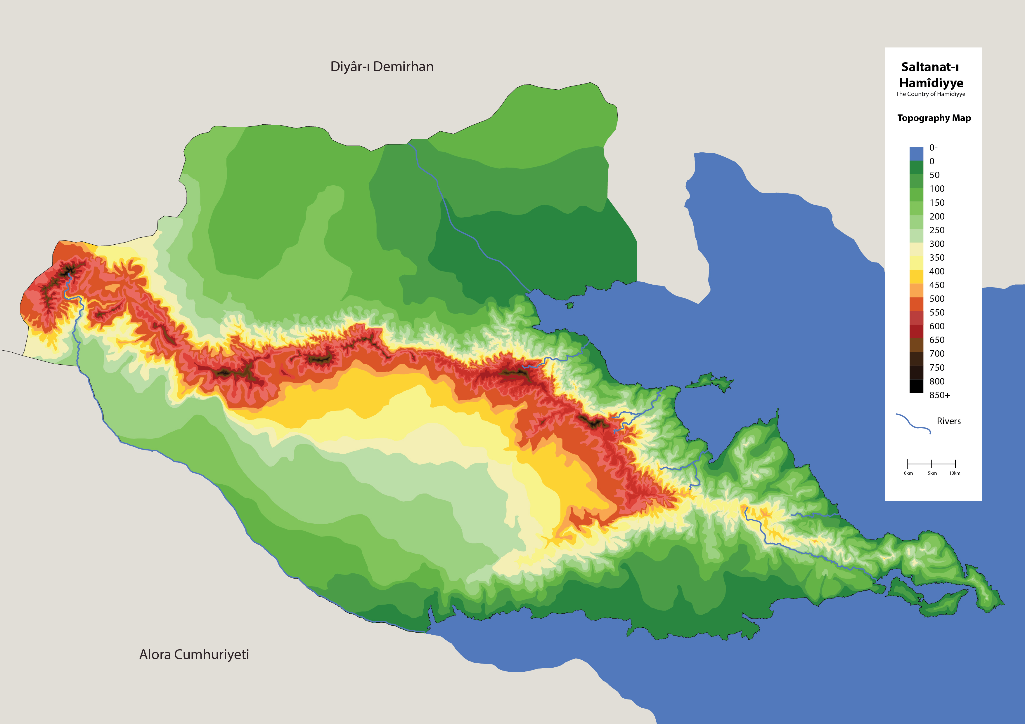 | 3,508 × 2,480 (1.65 MB) | Aad (talk | contribs) | |
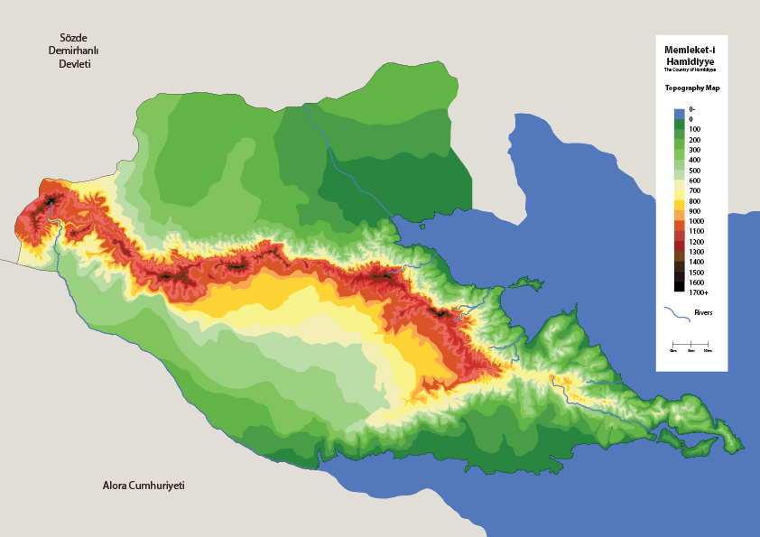
| 18:52, 8 August 2025 | Error creating thumbnail: File missing | 842 × 595 (243 KB) | Aad (talk | contribs) | ||
| 15:08, 4 August 2025 | Error creating thumbnail: File missing | 842 × 595 (244 KB) | Aad (talk | contribs) |
You cannot overwrite this file.
File usage
The following page uses this file: