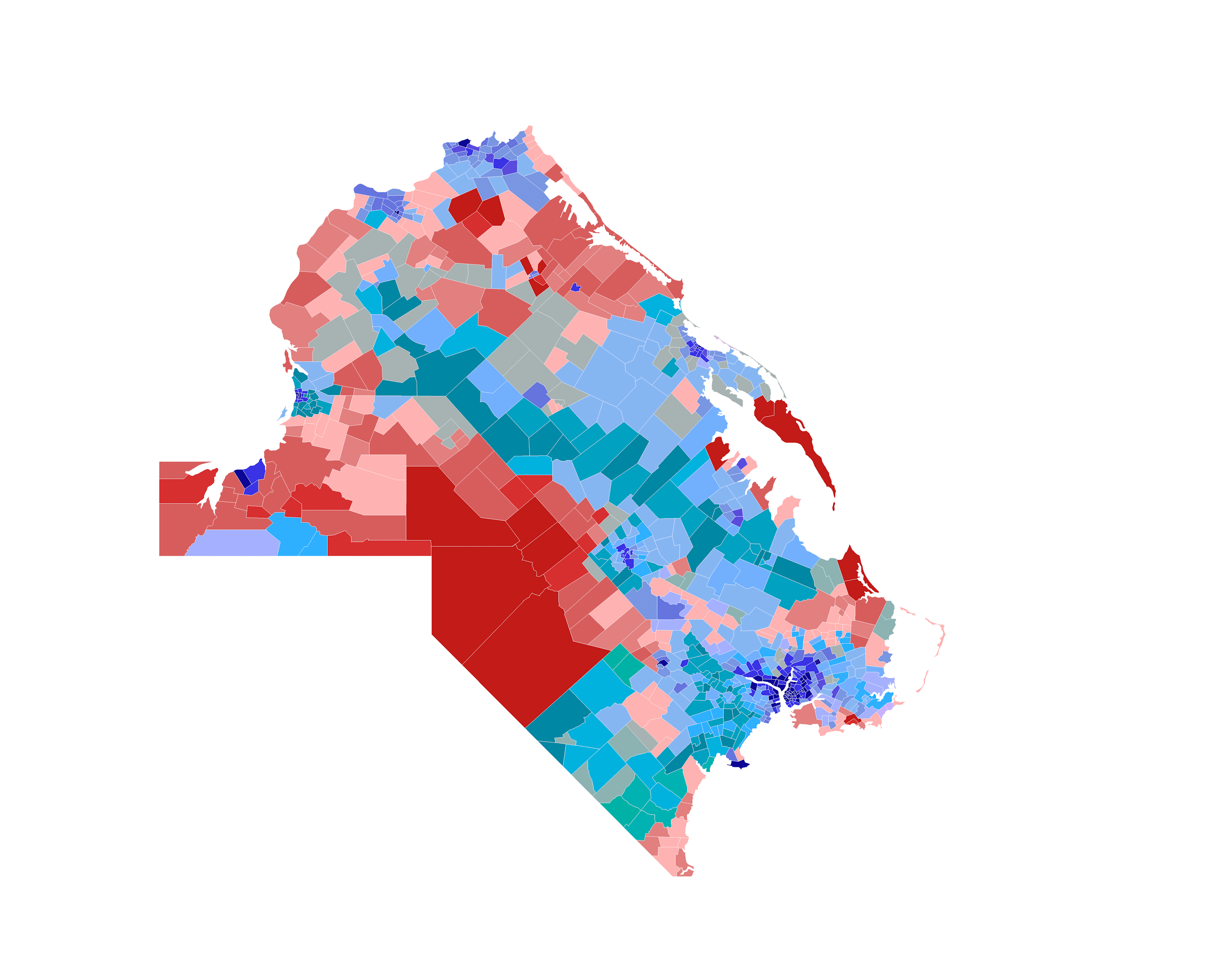
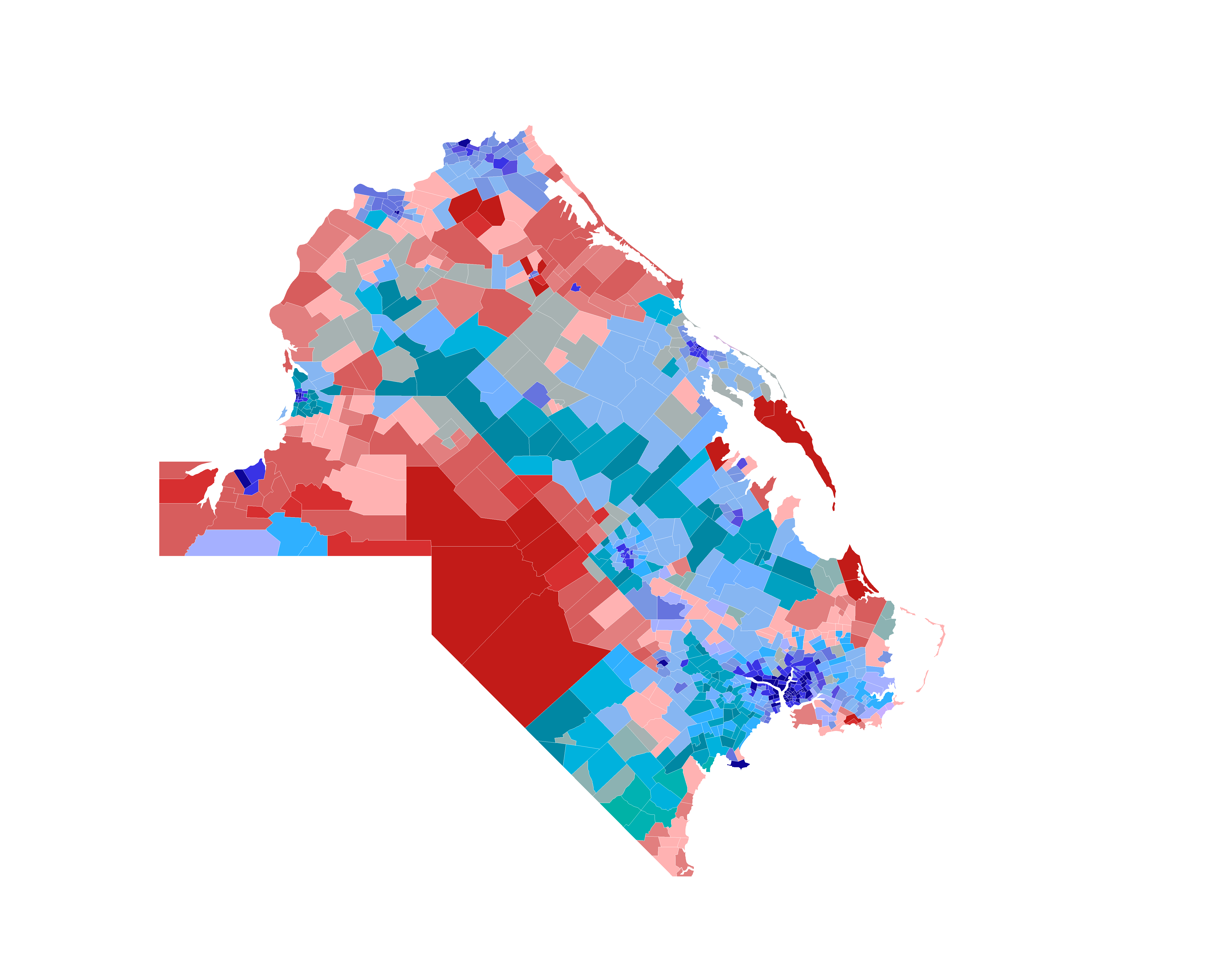
File:Passamaqueets 2022 gubernatorial election map.png
Size of this preview: 741 × 600 pixels. Other resolutions: 2,530 × 2,048 pixels | 3,000 × 2,429 pixels.
Original file (3,000 × 2,429 pixels, file size: 297 KB, MIME type: image/png)
made with paint.net
| This map is a derivative of the OpenGeofiction base map, which is licensed under the Creative Commons Attribution-NonCommercial-ShareAlike License and is released under the same license. |
File history
Click on a date/time to view the file as it appeared at that time.
| Date/Time | Thumbnail | Dimensions | User | Comment | |
|---|---|---|---|---|---|
| current | 01:16, 14 May 2025 | | 3,000 × 2,429 (297 KB) | MiniMapper (talk | contribs) | |
| 01:05, 14 May 2025 | Error creating thumbnail: File with dimensions greater than 12.5 MP | 5,376 × 4,352 (394 KB) | Jr000 (talk | contribs) |
You cannot overwrite this file.
File usage
The following page uses this file: