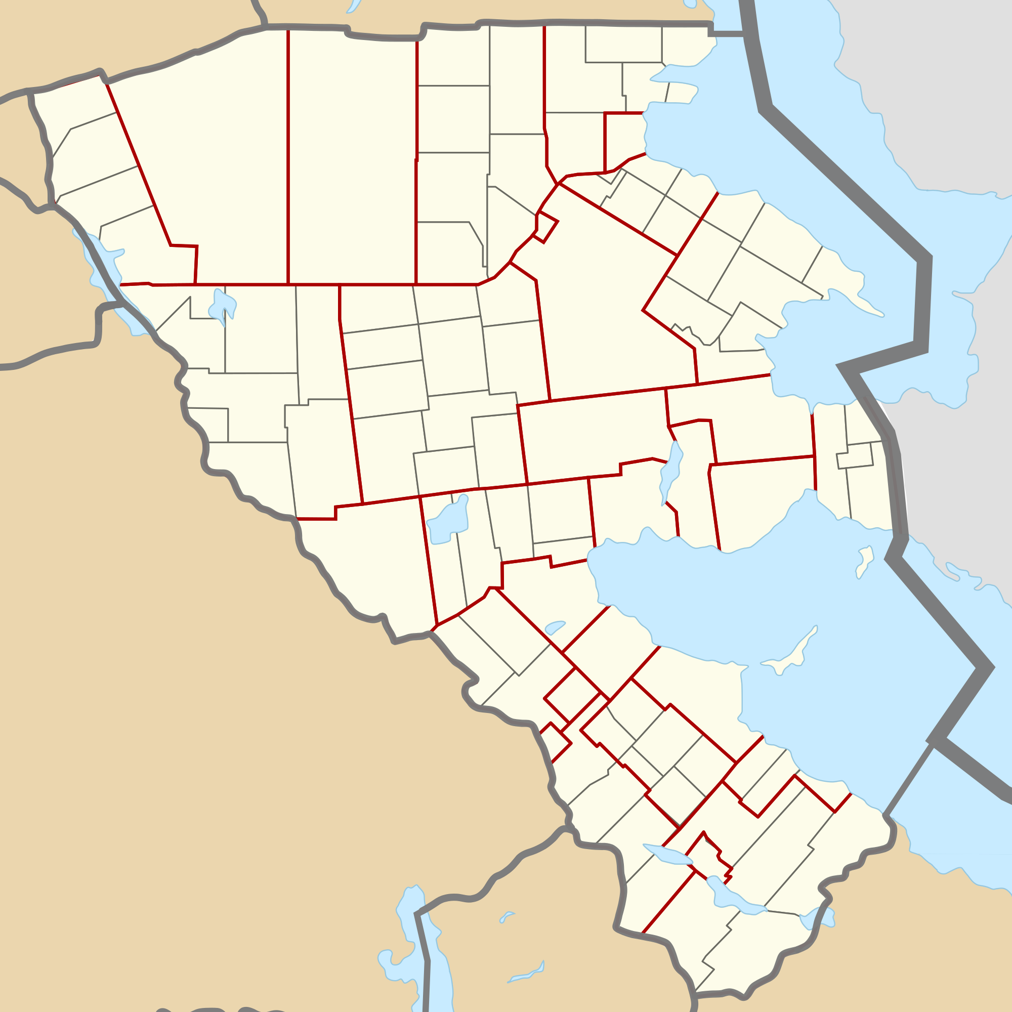
File:Agawaskway baseplan admin.png
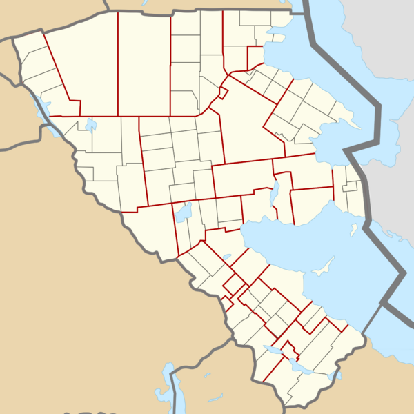
Size of this preview: 600 × 600 pixels. Other resolution: 2,000 × 2,000 pixels.
Original file (2,000 × 2,000 pixels, file size: 491 KB, MIME type: image/png)
Summary
Hey, I'm Zeke, formally known as varnel_maiser and formerly known as trombonist2003.
I am the coordinator for Agawaskway, ![]() Deodeca, and I map in
Deodeca, and I map in ![]() Joriskjo, and
Joriskjo, and ![]() Cabelia.
Cabelia.
Links
- My OGF profile: varnel_maiser
- Sandbox: User:Varnel maiser/Sandbox
I hope you have a great day :D
![]() Agawaskway
Agawaskway
Licensing
| This map is a derivative of the OpenGeofiction base map, which is licensed under the Creative Commons Attribution-NonCommercial-ShareAlike License and is released under the same license. |
File history
Click on a date/time to view the file as it appeared at that time.
| Date/Time | Thumbnail | Dimensions | User | Comment | |
|---|---|---|---|---|---|
| current | 04:18, 18 February 2024 | | 2,000 × 2,000 (491 KB) | Varnel maiser (talk | contribs) | Updating the image to fix an error in one of the counties (not showing lower-tier divisions properly). Agawaskway's division of municipal governments reflects a transition from the Ontarian (Canada) two-tier system to the Victorian (Australia) single-tier division system. |
| 21:14, 21 December 2023 | Error creating thumbnail: File missing | 2,000 × 2,000 (485 KB) | Varnel maiser (talk | contribs) | Updated to reflect the current division of municipalities. | |
| 18:45, 26 March 2022 | Error creating thumbnail: File missing | 2,000 × 1,892 (642 KB) | Varnel maiser (talk | contribs) | {{User:Varnel maiser}} {{Agawaskway}} |
You cannot overwrite this file.
File usage
The following page uses this file: